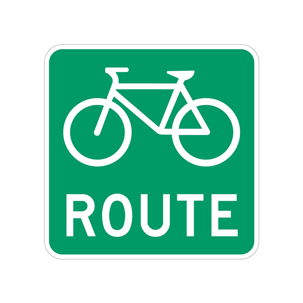
We have bike routes all over, and they are signed with something as shown.
But most of these will have a bike lane or sharrows along with the Bike Route signs.
However, I ran into one road that doesn't, it's just signed.
What's the best way to tag these roads? I don't want to cause confusion, but these unpainted (but signed) roads do actually lead to/from better cycling infrastructure, so they should be known.
UPDATE: Thanks for all the input, guys. Having looked into this further, I'm comfortable using the designated tag, at least for this specific road.
My municipality is a bit bipolar with their application of these signs. Most are signed as bike routes with toad markings, but a few are signed only.
Because these "bike routes" connect to more significant cycling infrastructure, I think its more than valid to tag them as “designated” as opposed to "yes" (which would be pretty much every road).
To add even more confusion to the situation, the official Cycling infrastructure map for my municipality seems to not include several areas that have both bike route signs and road markings, so i will ask them if the data is just lagging or if it needs to be updated.
So, unless there's a critical reason why the "designated" tag shouldn't be used in this context, I will leave it at that.

If that's the case, here's another complication 😱
I've looked at over a dozen of the previously mapped, signed AND painted/separated bike lanes/tracks in the area, and they are all set to bicycle=yes. None are bicycle=designated.
What potential issues would come up if I'm only assigning this one bit of road as bicycle=designated. Like, will it look different on the cycleOSM layer, or will it cause differences in bike navigation routing?
bicycle=yes just means that bicycles are allowed. Most places bicycles are allowed on all the roads.
bicycle=designated means basically that it has been marked as intended for bicycles. Could be a sign or a map or whatever.
I don’t think it would cause any problems. The cycle maps generally use that information although I can’t speak to routing software specifically.