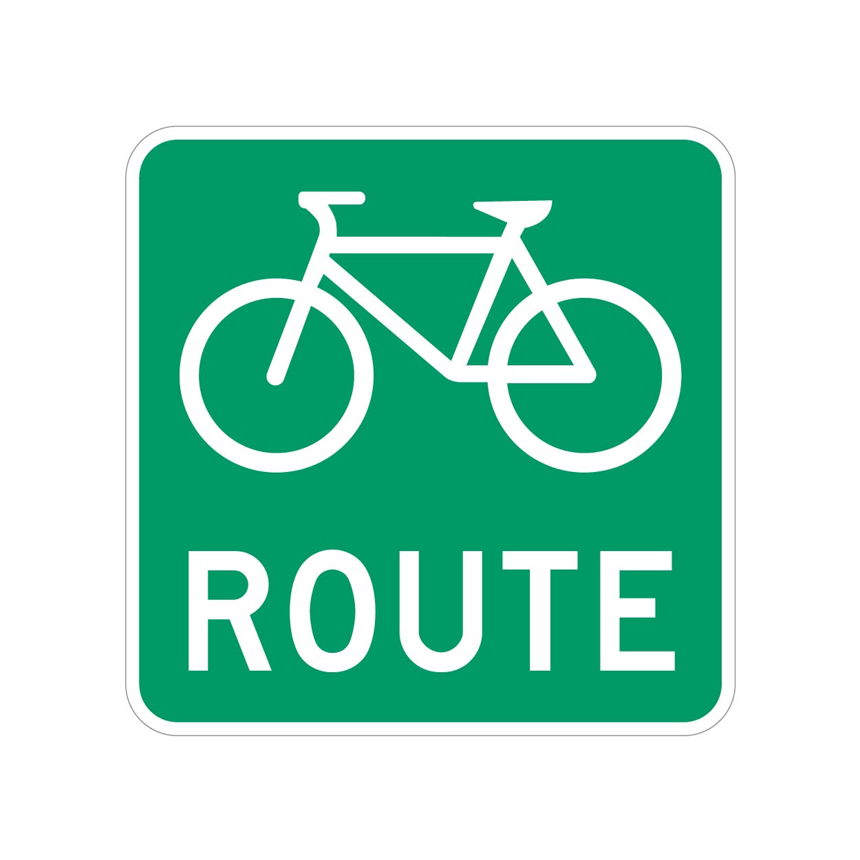
We have bike routes all over, and they are signed with something as shown.
But most of these will have a bike lane or sharrows along with the Bike Route signs.
However, I ran into one road that doesn't, it's just signed.
What's the best way to tag these roads? I don't want to cause confusion, but these unpainted (but signed) roads do actually lead to/from better cycling infrastructure, so they should be known.
UPDATE: Thanks for all the input, guys. Having looked into this further, I'm comfortable using the designated tag, at least for this specific road.
My municipality is a bit bipolar with their application of these signs. Most are signed as bike routes with toad markings, but a few are signed only.
Because these "bike routes" connect to more significant cycling infrastructure, I think its more than valid to tag them as “designated” as opposed to "yes" (which would be pretty much every road).
To add even more confusion to the situation, the official Cycling infrastructure map for my municipality seems to not include several areas that have both bike route signs and road markings, so i will ask them if the data is just lagging or if it needs to be updated.
So, unless there's a critical reason why the "designated" tag shouldn't be used in this context, I will leave it at that.

Does this mean exclusively for bikes? Because it sounded from OP like this is not the case.
No, it does not. You can use it with other access tags.
Documentation is on the wiki.
I’m not sure about
bicycle=designatedin this case. From the wiki page that you linked:Yeah that comment is wrong. I have no idea why it would say that.
Edit: perhaps it is a typo or autocorrect for “designed” meaning that it may or may not be built for bicycles.
The general access=designated may be a better description.