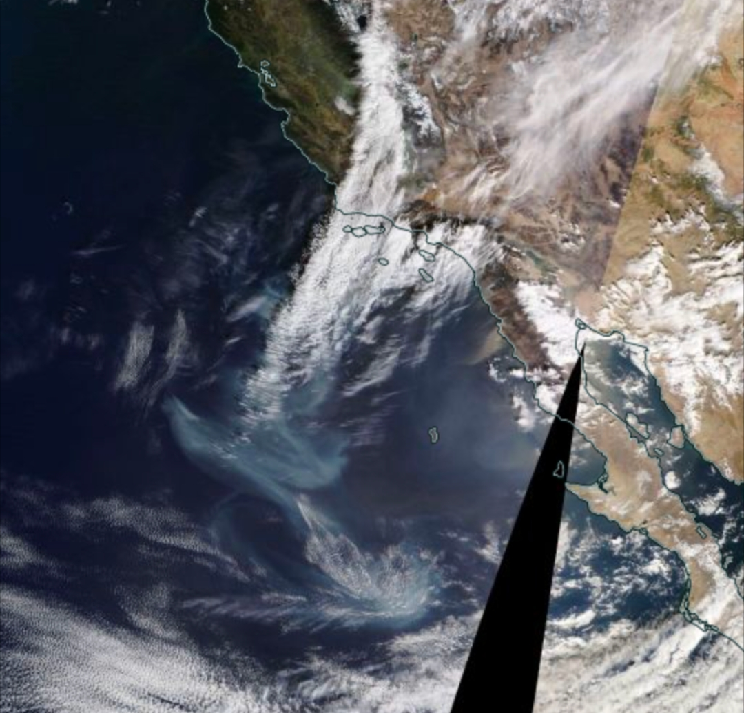
That's a long selfiestick 😮
I think that most of that is just cloud.
Here's the NASA FIRMS fire map showing hot areas in red, where the fire is burning. Those are the "big blotches", where there's a collection of bright areas in infrared.
https://firms.modaps.eosdis.nasa.gov/map/#d:24hrs;@-118.1,34.3,7.8z
The part that's burning is a very small part of what's visible on the submitted map.
EDIT: Note that the map server seems to be unusually overloaded right now, and is responding fairly slowly; the red infrared spots took a while to come in for me.
Can't they just do controlled burns, dig lines, clear brush etc. ahead of time. It can't be cheaper to just burn down large swaths of your state all the time.
They had something like 100mph (161 km/h) gusts on this, as I recall from the news. You'd need an awfully large firebreak to stop a fire from jumping that.
Yeah like why don’t they rake the forests‽
They do. The problem is that controlled burns are by definition small so they can be controlled and there's a lot of forest.
Because wind carries the burning material through the air to go and start more fires.
Do you think wildfires are a result of state lines? Do you have any idea how big California is? Wait till you find out dry California weather is not 100% related the general state drought conditions because of the unregulated almond farming factor?
pics
Rules:
1.. Please mark original photos with [OC] in the title if you're the photographer
2..Pictures containing a politician from any country or planet are prohibited, this is a community voted on rule.
3.. Image must be a photograph, no AI or digital art.
4.. No NSFW/Cosplay/Spam/Trolling images.
5.. Be civil. No racism or bigotry.
Photo of the Week Rule(s):
1.. On Fridays, the most upvoted original, marked [OC], photo posted between Friday and Thursday will be the next week's banner and featured photo.
2.. The weekly photos will be saved for an end of the year run off.
Instance-wide rules always apply. https://mastodon.world/about


